Cadastre - Property Register
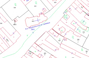
In the cadastral map you can search by address or by a parcel number. The desired property will be shown to you on the map.
Link to the Parndorf cadastral property register
In the cadastral map you can search by address or by a parcel number. The desired property will be shown to you on the map.
Link to the Parndorf cadastral property register
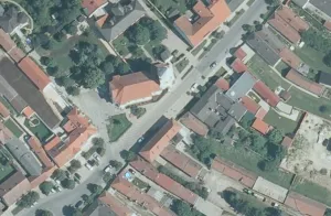
You can view an aerial photograph of your property after entering the address or plot number.
Link to the aerial photographs
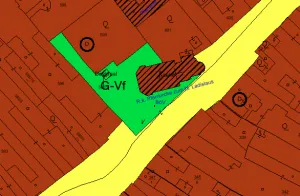
Here you will find the current zoning map of the Municipality of Parndorf. By entering an address or parcel number, you can find out the zoning designation for your property.
Link to the Parndorf Zoning Map